
Drone surveys ·
Drone progress survey for monthly claims
Drone progress survey checklist: agree the extent, base surface, control and exclusions before the first flight so claims hold up.
Project Prime · Practical checklist
Why a progress survey earns its place
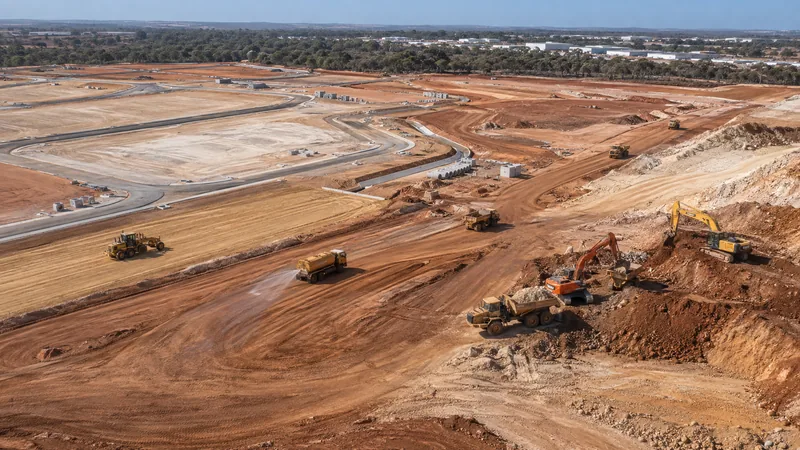
A progress claim is stronger when the quantity behind it was measured across the whole site on a known date. A drone survey captures the entire surface in one flight, instead of a handful of spot levels. The value depends on what you agree before the flight, so use the checks below when you brief a surveyor or review a report.
Agree the extent and the dates
Write down the survey boundary, the claim cut-off date and the planned flight date before anyone launches. Ask what happens when weather or site access moves a flight, because a late survey becomes a late claim. Flights depend on weather, airspace, site access and safety requirements, so a realistic window beats a single fixed day.
Ask what the quantity is measured against
A volume means nothing without a reference surface. Agree whether the comparison is with the previous survey, the original ground or a design surface, and record the design revision if one is used. If the reference changes from one month to the next, the surveyor should say so in the report, not leave your team to find out.
Check how the survey is tied to site control
Drone data must sit on the same coordinate system as the design and the earlier surveys. Ask which control points were used, who checked them and whether the same control is reused every month. Surveys tied to different control cannot be compared fairly, however good the imagery looks.
Look at what is excluded or flagged
Vegetation, standing water, parked machinery, covered stockpiles and areas hidden from the camera can all distort a surface. A useful report lists them as excluded or flagged. Ask for that list, and ask how the volume changes if an excluded area is later measured by another method.
Test the number against what you already know
Compare the reported progress with delivered quantities, load counts and last month’s figure. If something does not fit the site records, ask the surveyor before the number becomes a line in your claim. A good surveyor would rather answer the question now than defend the figure later.
Ask what you will receive and in what form
Ask for the quantities, the surface and the imagery in formats your team can open, with a short note of the method. Confirm whether the report shows the previous survey beside the current one, and who on your team can see the results. A portal helps when several people need the same answer on the same day.
Keep the dated record together
The imagery, the surface, the boundary, the method and the reported quantities should travel as one package, so the number can be rebuilt if the claim is queried. Our drone progress surveys keep earlier dates beside the latest in a browser portal, so change over time is visible to everyone on the project.
Where Project Prime fits
We fly drone progress surveys from Bunbury for civil sites across the South West. Tell us the boundary, the cut-off dates and the quantities you need, and we confirm scope and fee before the first flight. A survey supports a progress claim. The claim itself stays with your team and the contract.
The service this note is about: Drone progress surveys
General preparation notes. Confirm the requirements, methods and approvals for your project with the responsible team.
Tell us about the job