
Drone progress surveys
Regular drone surveys for end-of-month and progress claims, with measured quantities and a browser portal showing results and change over time.
Discuss this taskFrom flight to claim record
See the site. Measure the change.
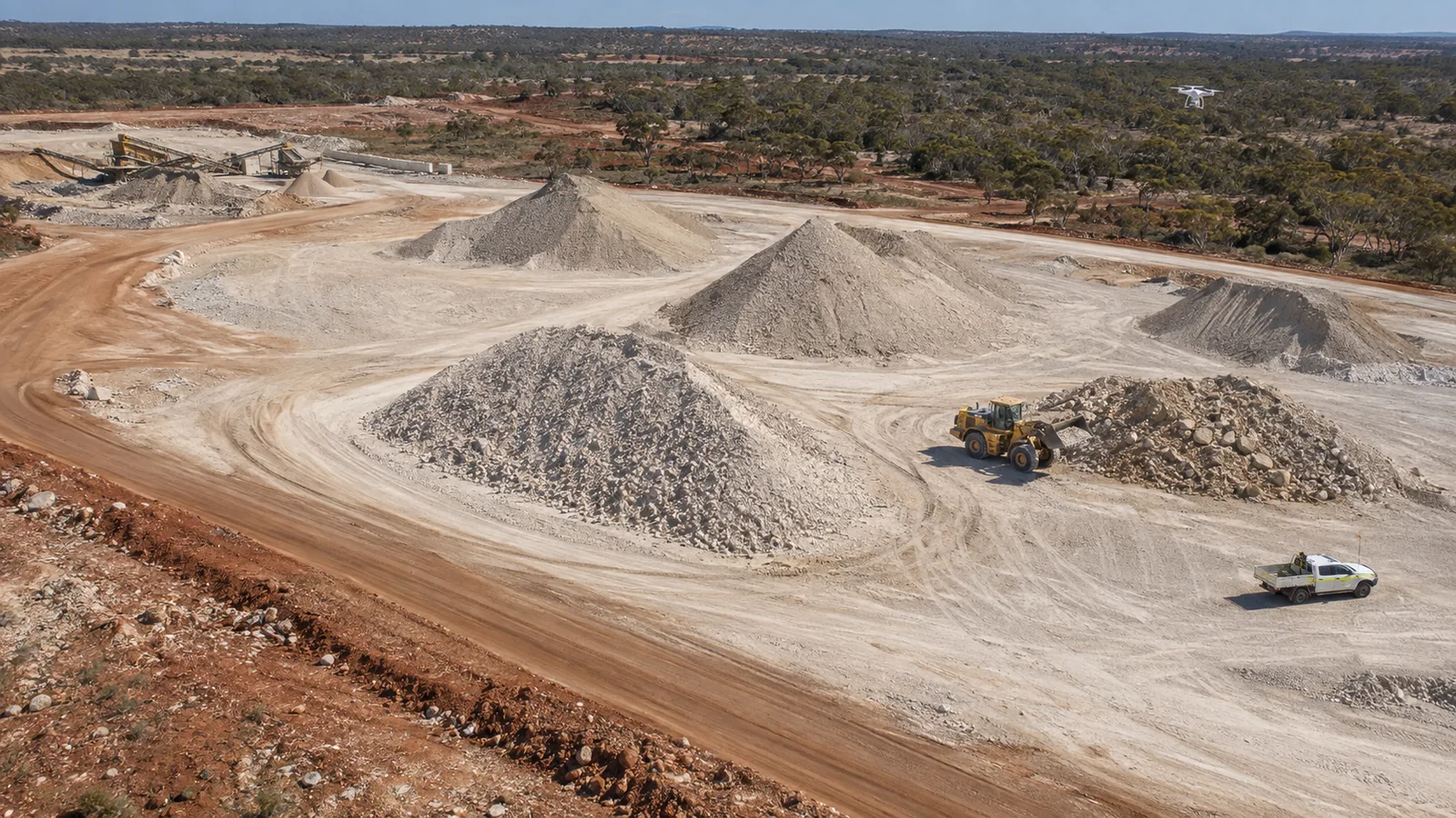
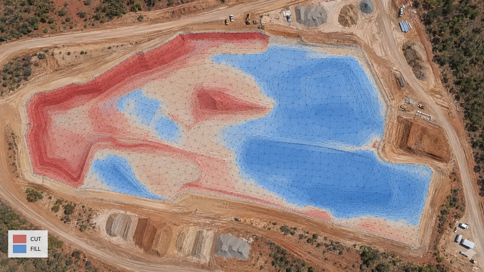
Illustrative examples. Reporting is configured to the agreed site, design surface, claim period and measurement method.
Example output
Progress between surveys
| Area | Previous | Current | Change |
|---|---|---|---|
| Bulk earthworks | 42% | 61% | +19% |
| Drainage | 1,240 m | 1,690 m | +450 m |
| Stockpile | 8,400 m³ | 6,950 m³ | -1,450 m³ |
Dated aerial records and measured progress, available in a browser for claim review.
Sample figures for demonstration only.- What we need
- The project boundary, required survey frequency, site access details, claim cut-off dates, relevant design surfaces and the quantities you need reported.
- What you receive
- A dated aerial record, measured volumes or progress quantities, comparison against earlier survey dates and access to a custom browser viewing portal.
- How we price it
- A fixed fee per survey or an agreed monthly programme. Portal setup and project-specific reporting are scoped separately.
Drone operations remain subject to weather, airspace, site access and safety requirements. Quantities are reported against the agreed survey extent, source data and method.
Your project, your files
Have something you want checked?
Send what you have. We will confirm the scope, fee and turnaround before starting.